Basic GNSS and Total Station Training Course
The Learning objectives of this course are as follows
- Understand the Satellites Orbit
- Understand the different segments of GPS
- Understand the basic idea of how GPS provides a location on the earth’s surface.
- Be familiar with causes of GPS receiver inaccuracy
- Identify methods for improving GPS receiver accuracy
- Be familiar with data processing of GPS in static and kinematic mode via offline and online.
- Understand the concept of TS for computing distances directly and calculates the coordinates of points in the area of interest
- Educate them to apply different methods of TS of survey data in the field
- Be familiar with data processing of TS via AutoCAD civil 3D.
The course run by:
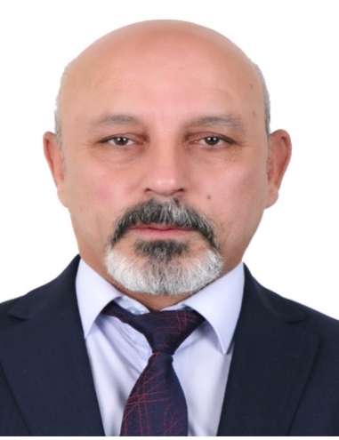
Dr. Farsat Heeto Abdulrahman Course Director (Contact below)
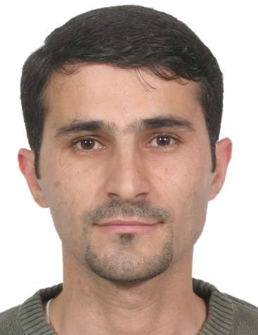
Dr. Sarhat M Adam Course Leader
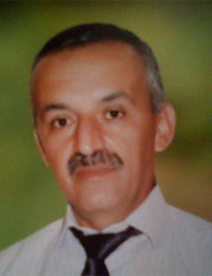
Mr.Sami mamlok Glyana Course Management
Mr.Yousif Zia Course co-management
Luhon Sultan Technician
Number of participants: unlimited
Course Program
|
|
Date |
Subject |
hours |
Lecturer |
|
Week 01: Theory part |
2nd July 2018 |
Fundamental of Orbits and Satellites positioning |
2 |
Dr. Sarhat M.A. |
|
3rd July 2018 |
Introduction to Total Station |
2 |
Dr. Farsat Heeto |
|
|
4th July 2018 |
Geodesy, Projection and Coordinate systems |
2 |
Dr. Farsat Heeto |
|
|
Week 02: Practical part |
9th July 2018 |
Introduction to Leica viva GNSS/GPS and accessories |
2 |
Dr. Sarhat M.A. |
|
10th July |
Experiments of TS in the field |
3 |
Mr. Sami and Luhon |
|
|
11th July |
Assembling GPS as a base and rover. |
3 |
Mr. Yousif and Luhon |
|
|
Week 03: complementary of Practical part and data processing |
16th July 2018 |
Data collection in GPS via static and kinematic |
3 |
Mr.Sami and Luhon |
|
17th July 2018 |
Complementary of TS experiments in the field |
3 |
Mr. Yousif and Luhon |
|
|
18th July 2018 |
Using offline and online processing- Static GPS |
3 |
Dr.sarhat, Luhon |
|
|
19th July 2018 |
Using AutoCAD civil 3D- TS data |
3 |
Dr. Farsat, Luhon |
|
|
|
Total of hours |
26 hours |
|